Nature Itineraries
THE WATERFALL IN THE MONASTERO VALLEY
An itinery for everybody, with climbs of moderate difficulty.
The path starts from the Town Hall of Abbadia towards “Linzanico”, after reaching Maggiana continue following the directions of the “High Grigne Ways” (a red rectangle with a blue circle in the middle) until you reach the waterfall of the river Zerbo, the highest in the Grigne group. The track takes approximately 3 hours time.
THE WAYFARER'S PATH
The path is a unique opportunity to discover the artistic and natural beauty of the towns of the coast.
It runs along the eastern shore of the lake, from Abbadia to Colico covering a distance of about 35 Km.
You can easily cover it in 3 / 4 days or you may walk from time to time the different routes that separate a railway station from the other one (line Lecco-Colico).
THE RIVER PATH IN THE ERA VALLEY
The way is a loop route, it follows not always easy trails across areas of great environmental fascination at the bottom of two valleys (the “Meria” and the “Era” valleys) that go up to Mount Grignone from Mandello.
The route runs along the stream of the torrent among waterfalls and pools of rare beauty (forcing you to many fords) and rocky stretches on slippery grounds often equipped with chains.
Starting point: Sonvico, a hamlet of Mandello – round trip walking time: 4 hours – difference in altitude: 510 m - difficulty level: EE (hiking for experts).
ERA ALP AND GARDATA
This itinerary is recommended for skilled hikers, since it is quite challenging.
A long walk that takes you from Somana to the Church of Santa Maria, to the Alp of Era and to Gardata.
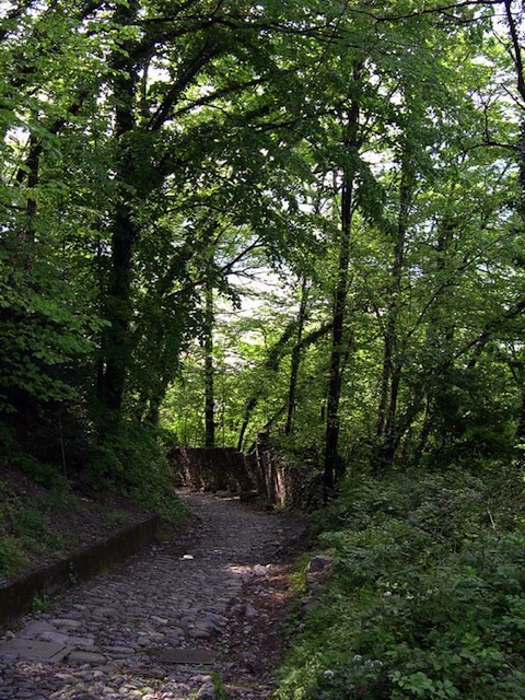
A path for every season, a trail mostly uphill on mule tracks with comfortable and well kept steps.
You’ll surely be impressed by a breathtaking view over the Meria valley, on the high crossing of the Grigne group and on the Rosalba hut.
The path - with return to the hamlet of Rongio -takes about 5 hours time.
THE FERRIERA CAVE - MANDELLO DEL LARIO
The Ferriera (or Ferrera) cave, also known as the Cave of Copper or White Water Cave upon the name of the source located at its entrance, is a cave 175 mt long and about 50 mt wide, crossed by a stream forming a waterfall that afterwards ends in the cracks of the floor.
The entrance of the cave is easily practicable, but the bottom is slippery and full of clefts.
PIAN RESINELLI, MINES AND VALENTINO PARC
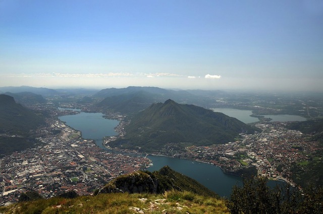
Extensive plateau between 1200 and 1300 mt nestled at the foot of Mount Grignetta in an expanse of lawns gently sloping down the Monastero valley, the Resinelli plains are the ideal place for quiet vacations as well as a famous climbing center thanks to the Grignetta, one of the most beautiful natural practice walls in Italy.
The Resinelli plains were for centuries the transitional area from the towns on the lake (Abbadia and Mandello) to reach the Valsassina valley. Thanks to their favourable position, they were also used as a summer pasture for the herds.
The Valentino Park extends within the lush forests of Mount Calolden, and on the Coltignone mountainside. It is run through by several tracks in dirt and by easy trails, protected by wooden fences along the crags, that allow you to reach the most scenic and interesting viewpoints.
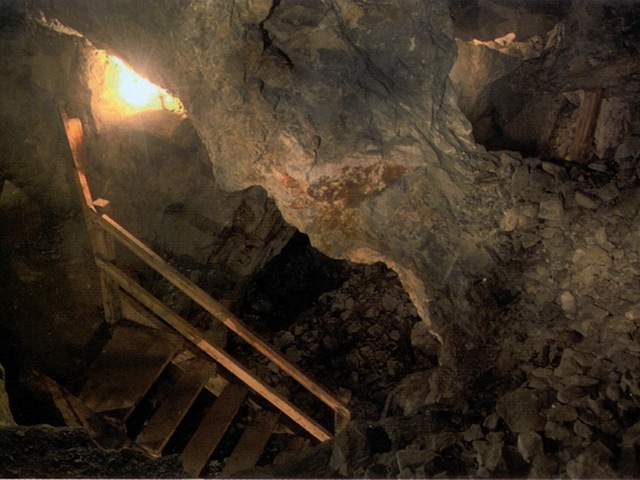
The Mineral Park of the Resinelli plains allows to visit the old lead mines exploited since the sixteenth century to the present. You can visit: the mine “Anna” and the mine “Cavallo”, with its spectacular empty spaces 20/30 mt high.


